
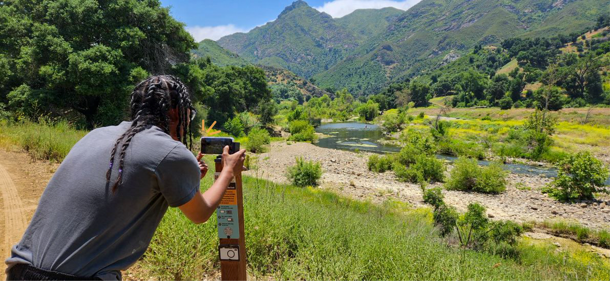


Community Science Photo Point Program - Can you catch them all?
Every picture tells an ecostory! Become a community scientist and join the Malibu Creek Ecosystem Restoration Project by participating in our Community Science Photo Point Program. How? Visit one of the photo monitoring sites listed below, snap a picture, and upload it to help us collaboratively build a bigger picture of the watershed.

With community science, we don’t just witness change—we become a part of it. By participating in the photo point program, we all help capture and document the dramatic transformation unfolding across the entire watershed. Together, we create a lasting record of this historic restoration, showcasing the beauty and resilience of the amazing places we call home.
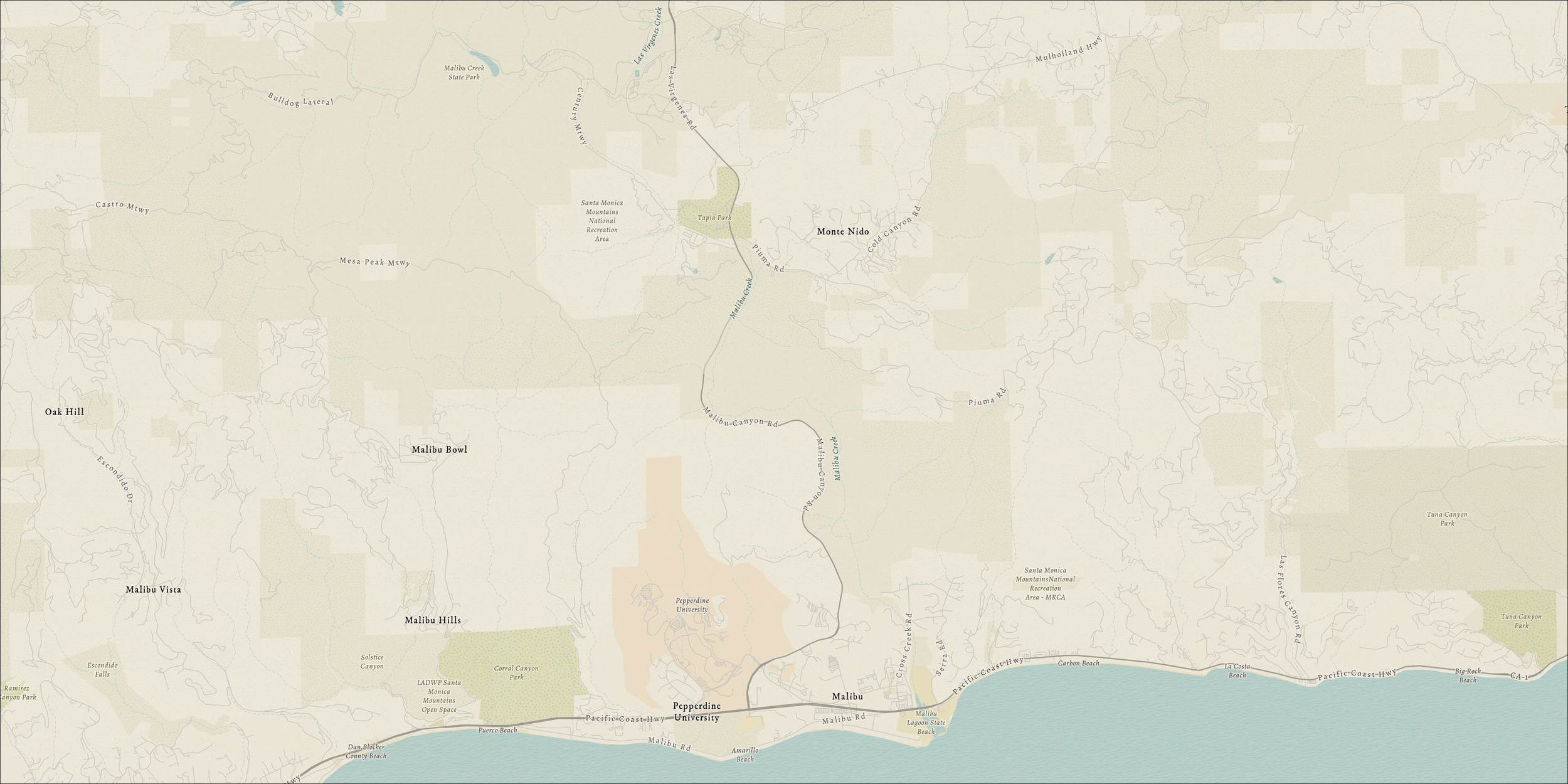
Malibu Creek State Park - Crags Road - Confluence of Malibu Creek and Las Virgenes Creek


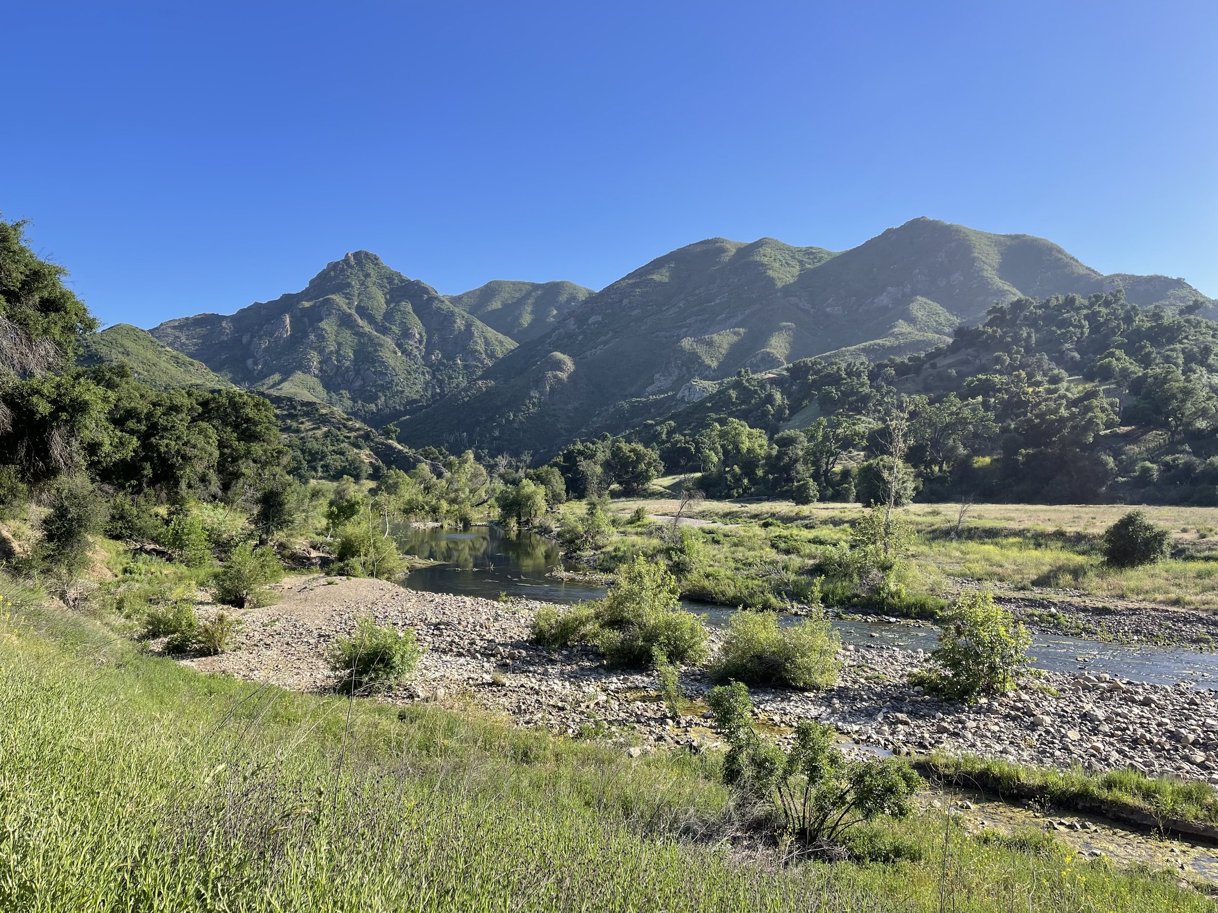
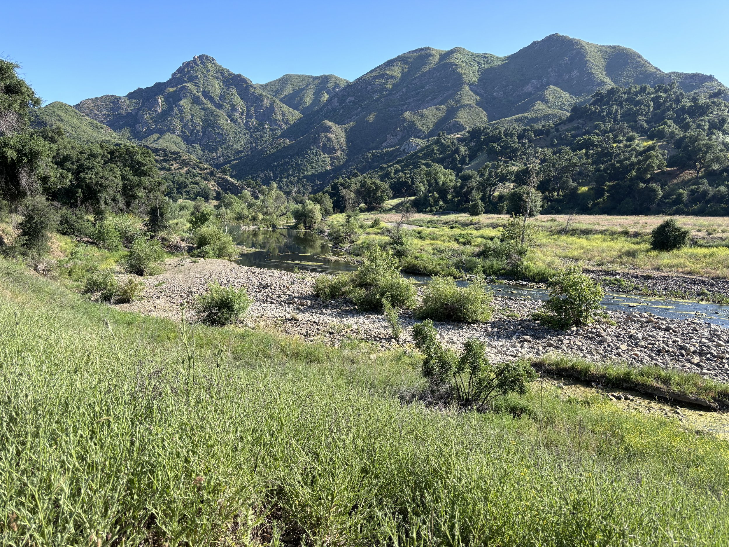


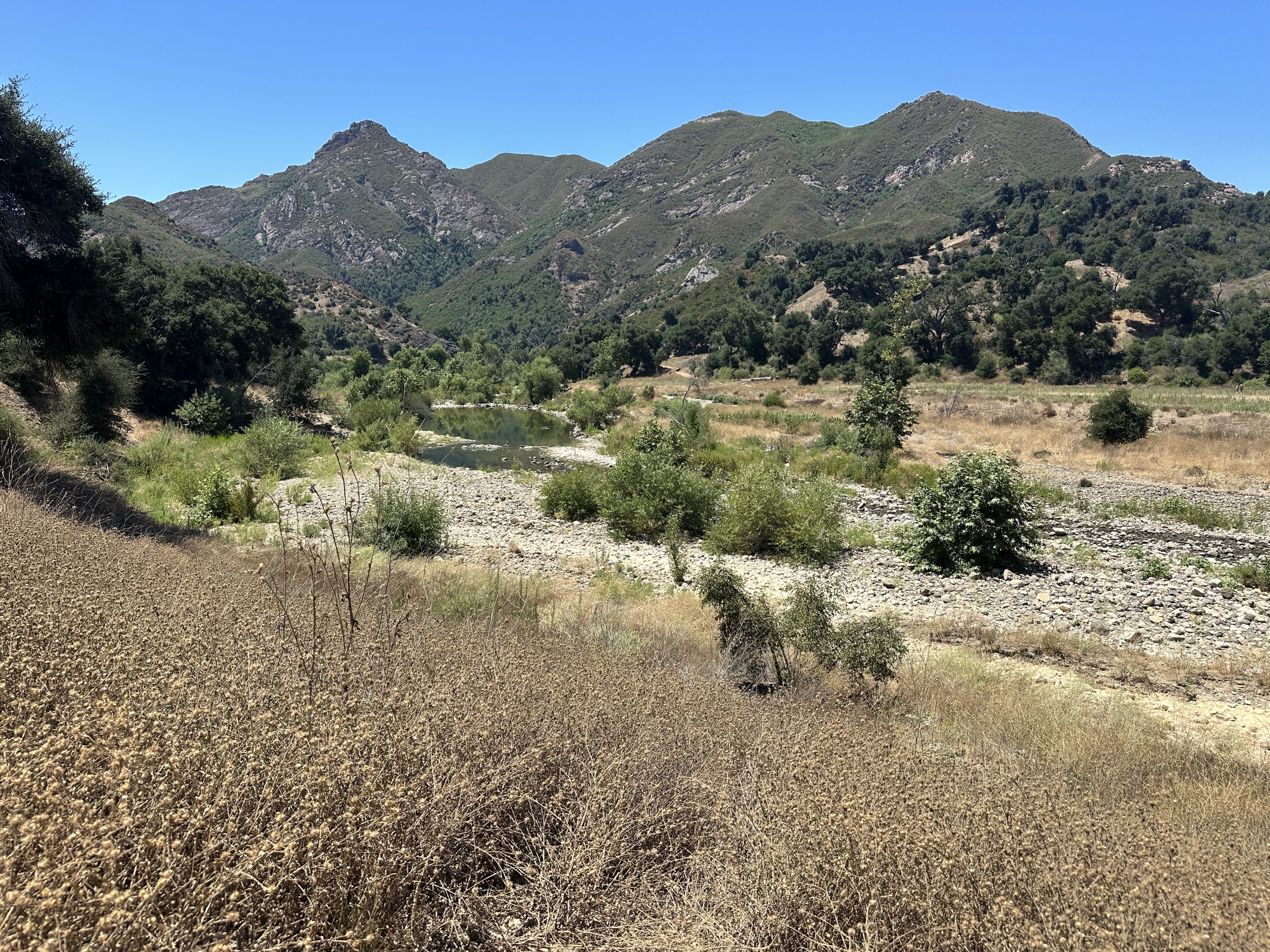

Standing on Crags Road, you see the confluence of Malibu Creek and Las Virgenes Creek. In the middle of Malibu Creek, the water in your camera’s center frame is an extremely important Southern steelhead habitat - groundwater-dependent pools. You can see from the collected photos this pool persists all year. Ground water supplied pools provide habitat for many aquatic species over the entire summer. Upstream of here on Las Virgenes Creek, we will be removing barriers. This will restore a more natural flow of water and sediment, which could change the creek’s condition within in the photos collected. We should see improvement in habitat for fish and other wildlife.
Malibu State Beach Lagoon - Lagoon Overlook Landing

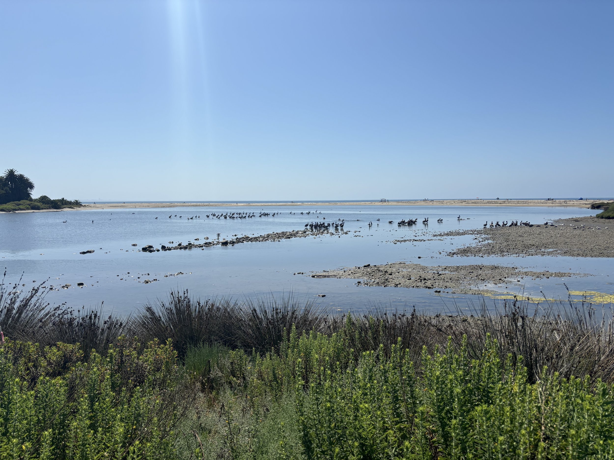


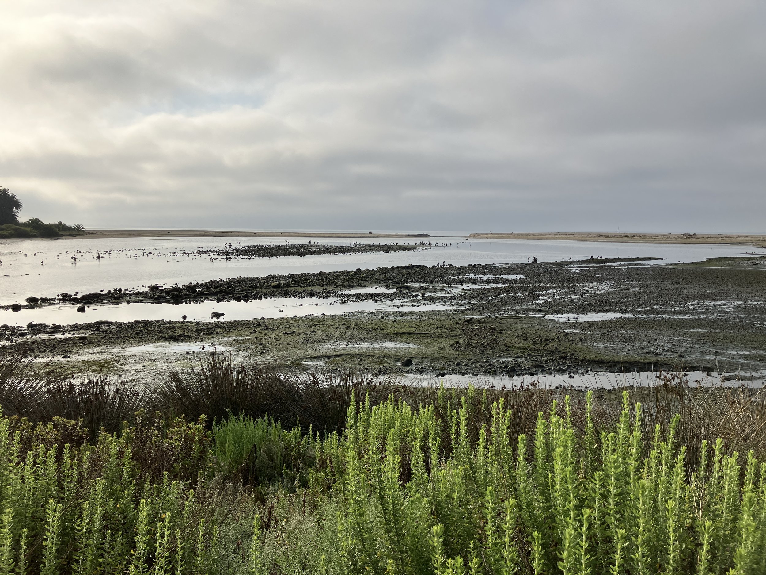
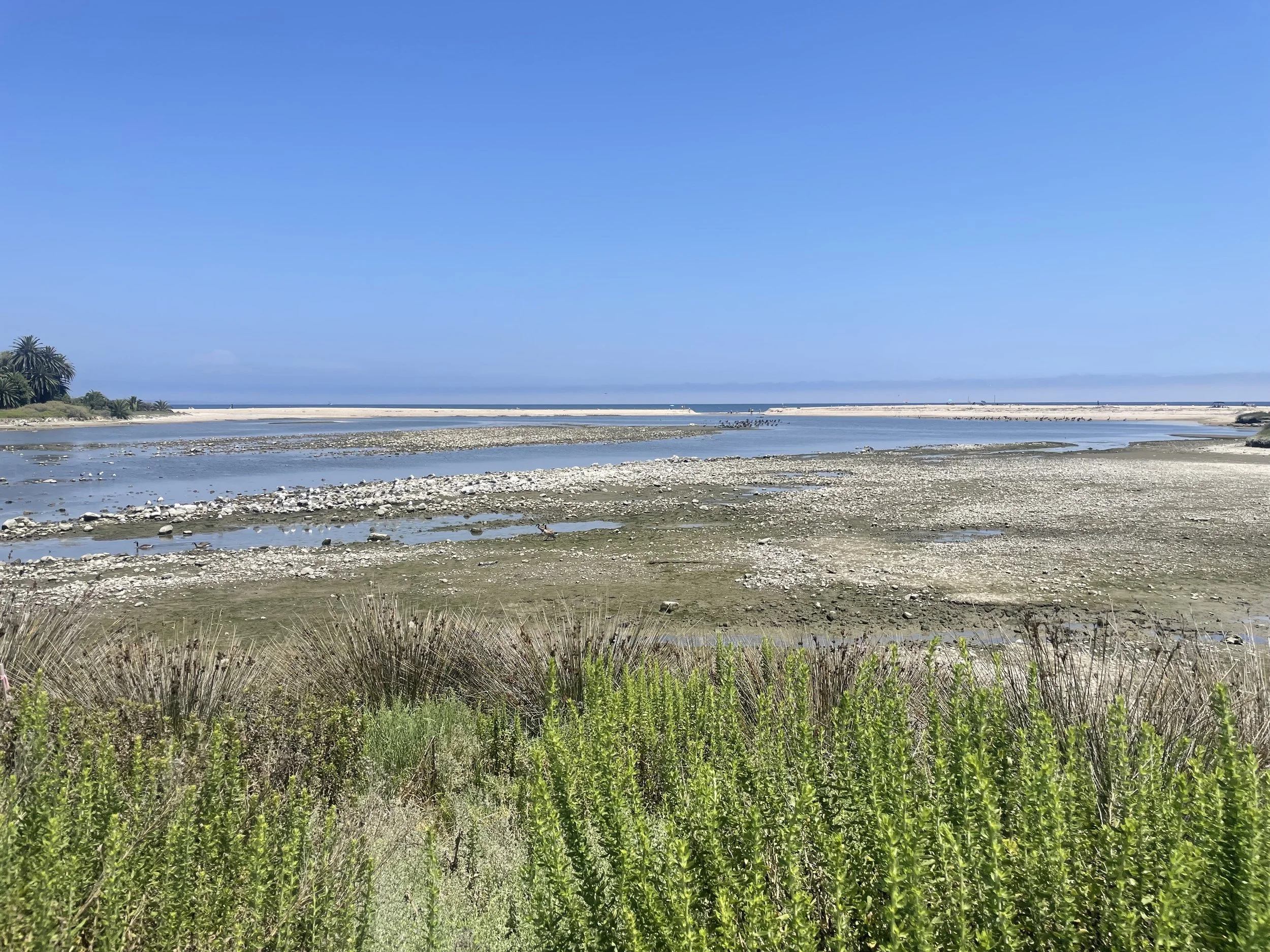

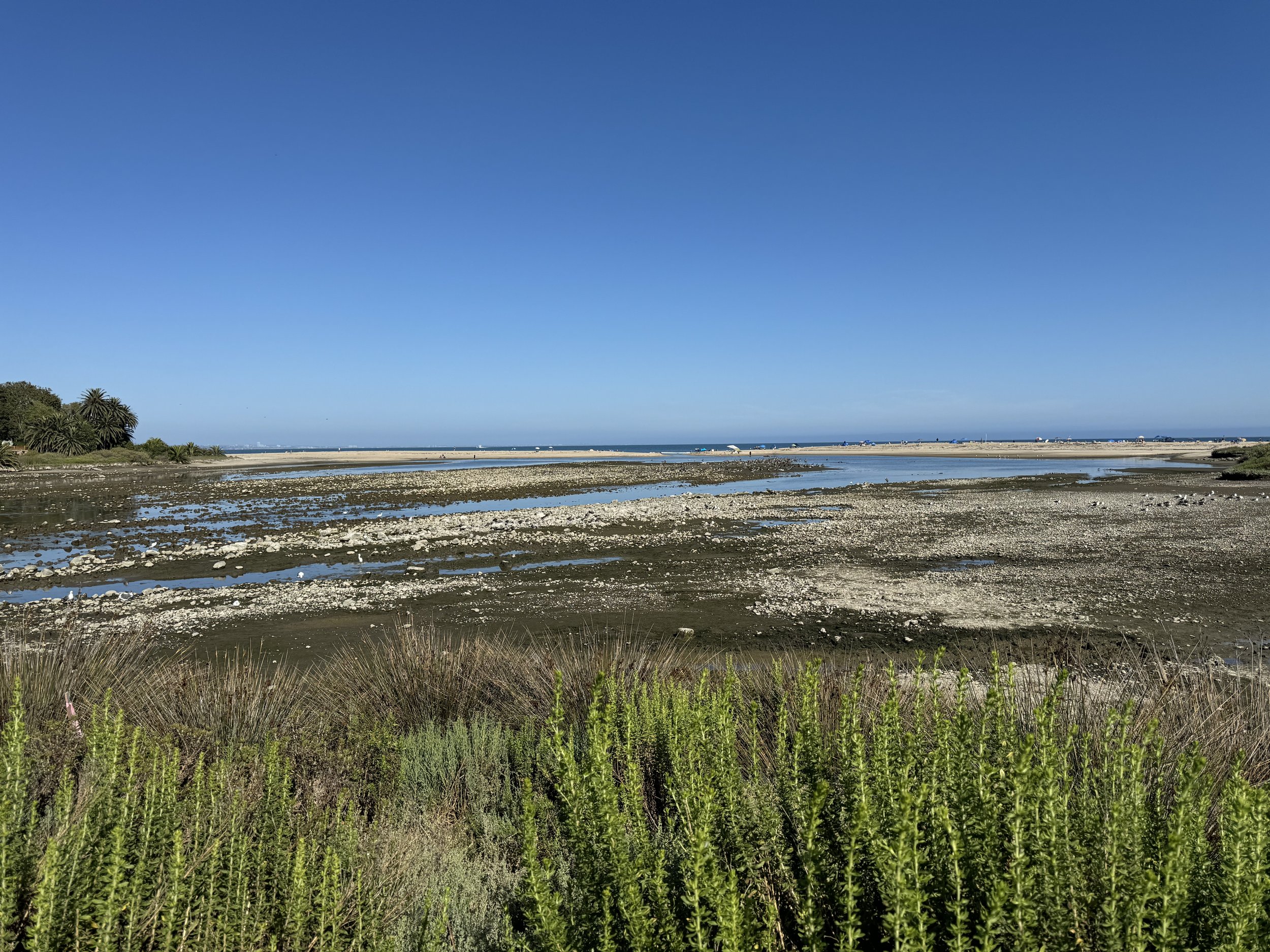
At the lagoon viewpoint, we will see over time, a critical habitat shaped by the reconnection of a more natural supply of sediment from the upper watershed with a normal flow regime reestablished. This reintroduction will influence the shifting open and closed conditions of the lagoon, changes in habitat shapes, and more dynamic natural processes.
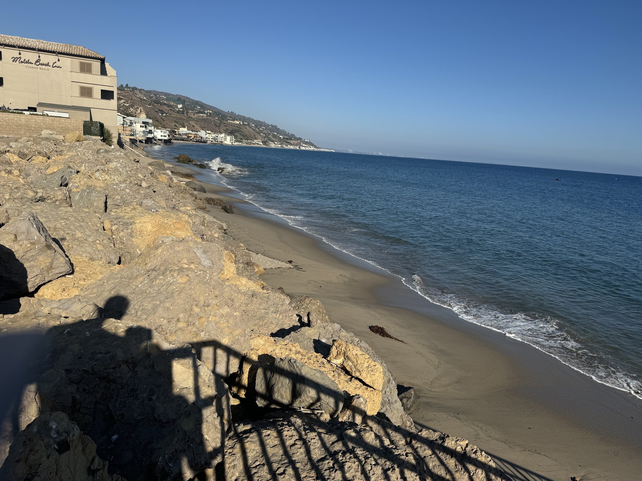
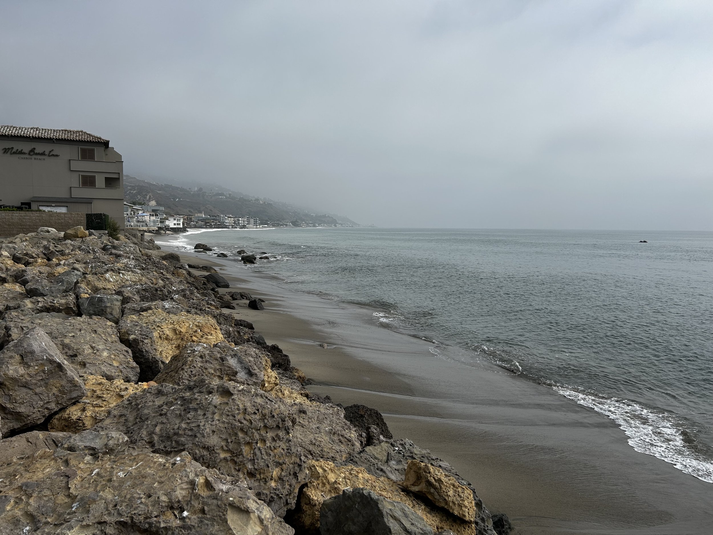
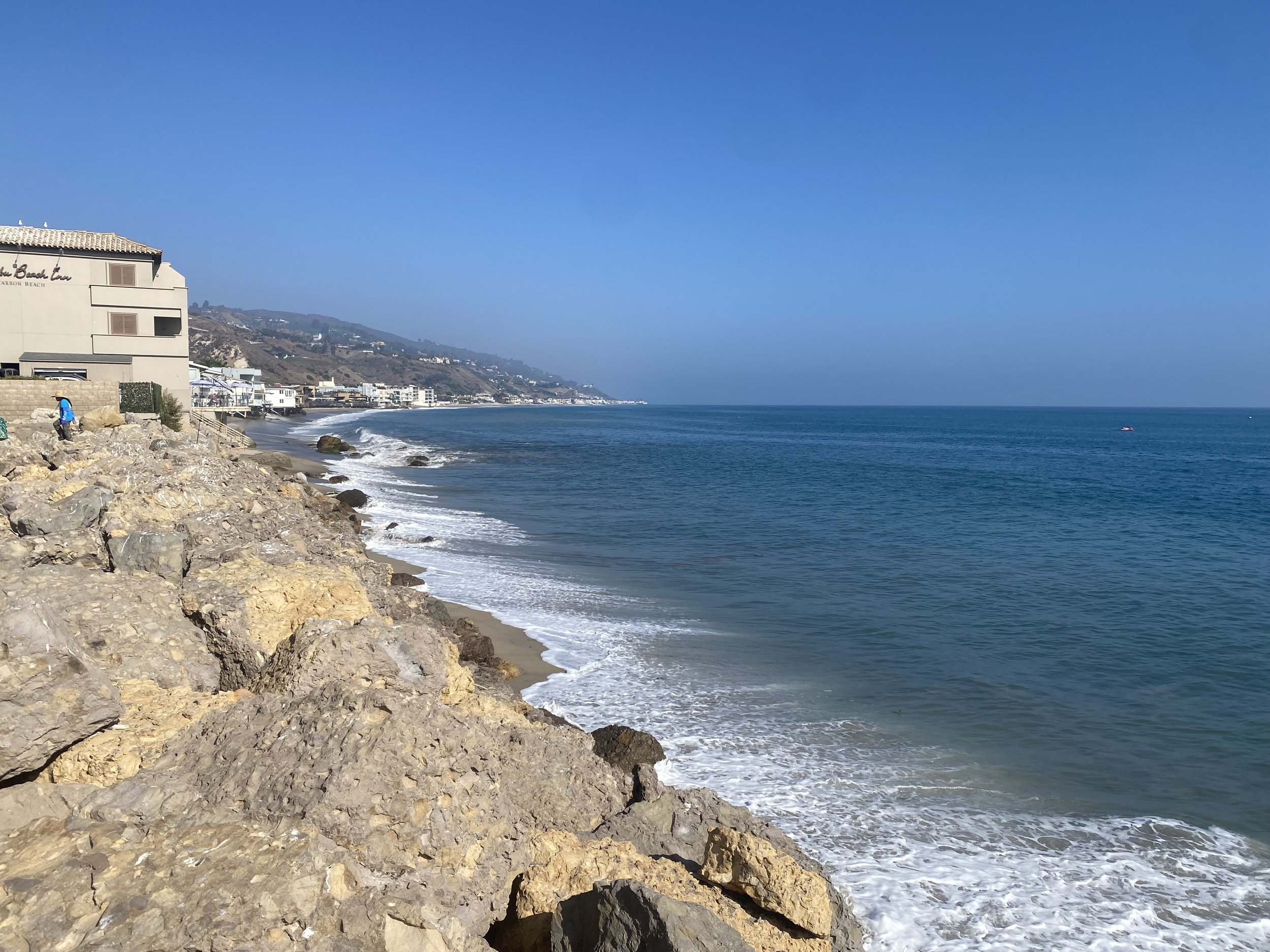
Malibu Pier - Beach Access Stairs - West


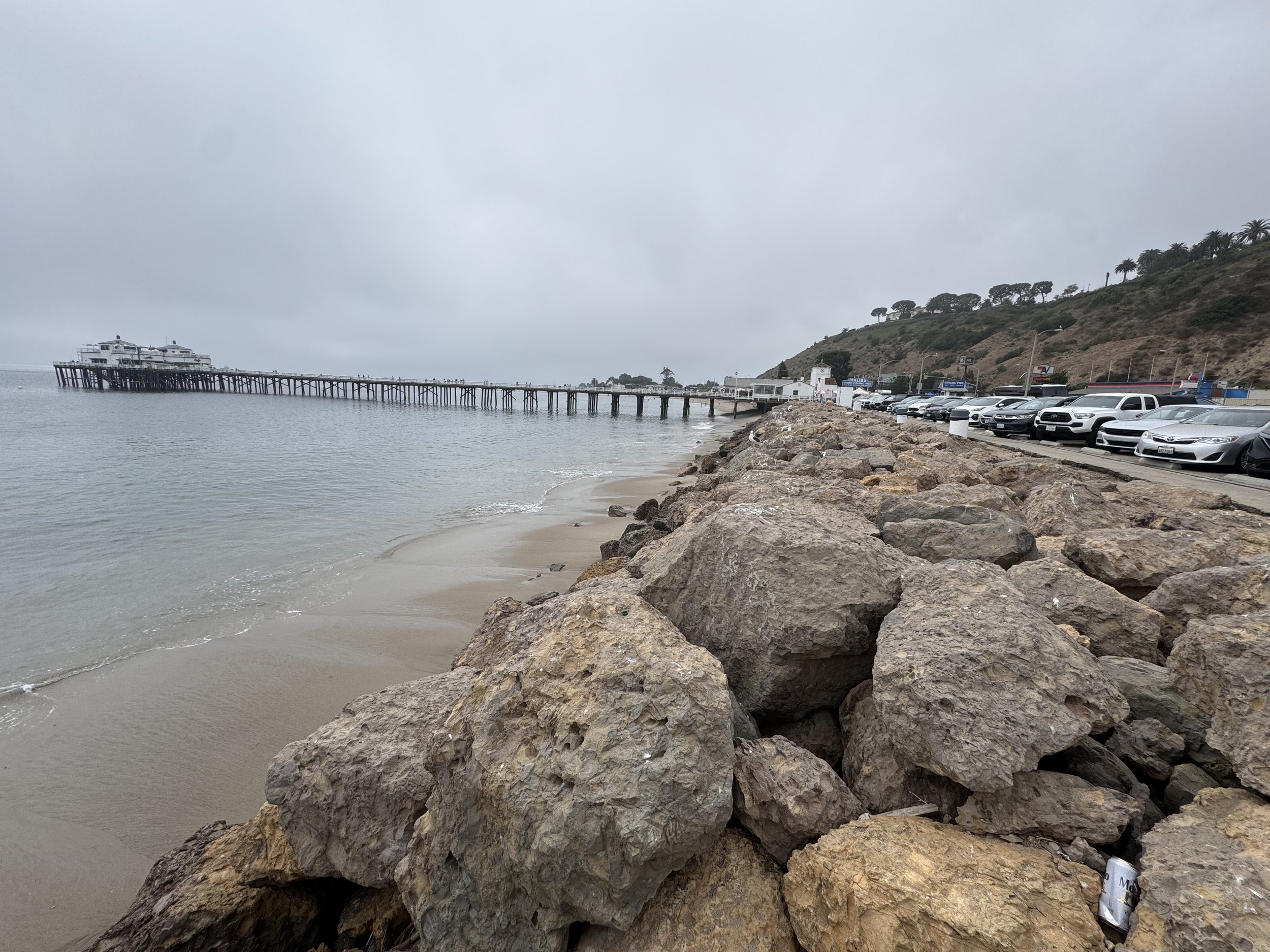
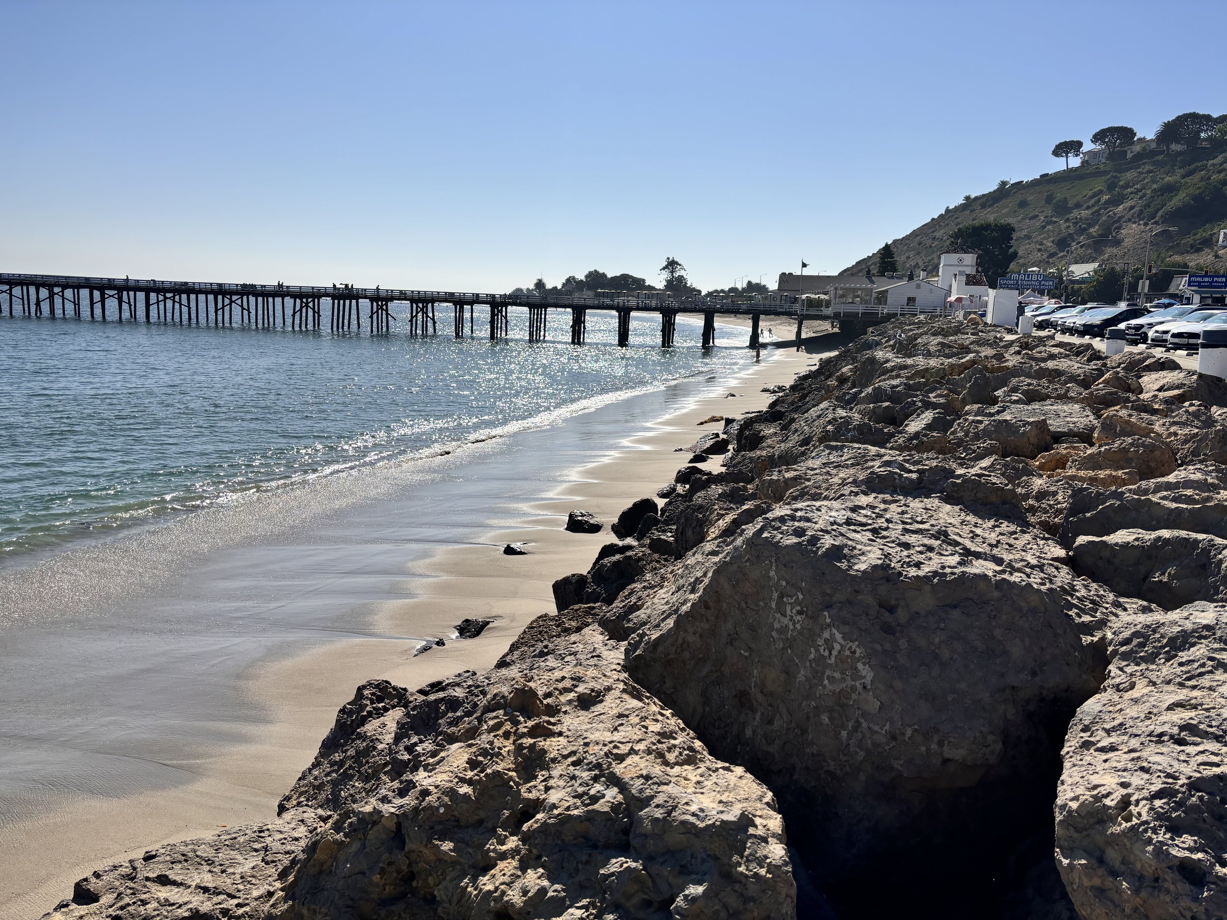
From the two Malibu Beach photo points and the one at the Adamson House, we can observe changes in nearshore and coastal sediment dynamics. The restoration of the natural sediment supply to the coast from dam removal could lead the input of much needed coastal sediment. This could lead to shifting wave patterns at the mouth of the creek that will reshape the shoreline with the new sediment. These changes influence habitat formation and recreate the dynamic interplay between sediment movement and coastal ecosystems needed by many native species.
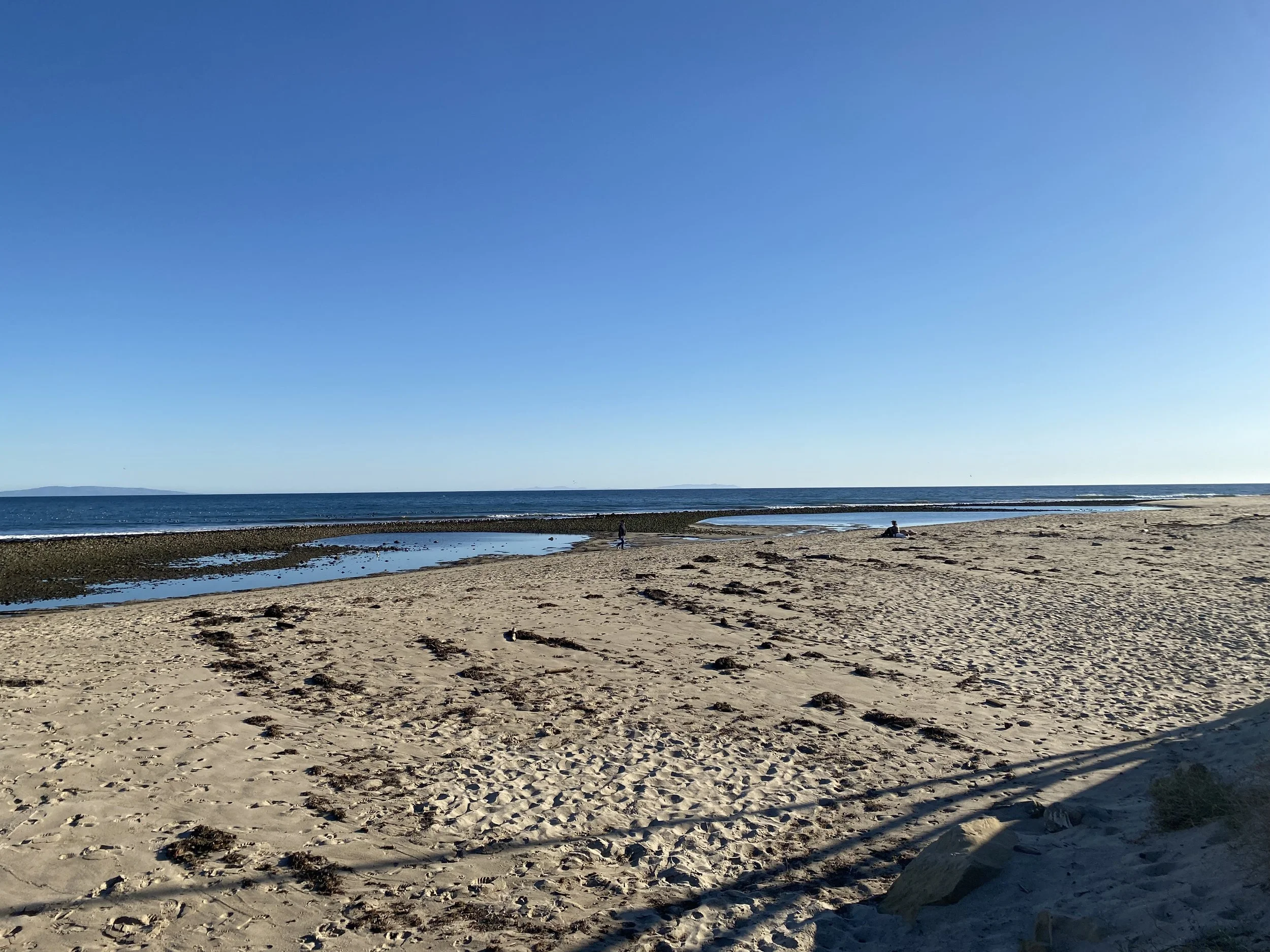
Malibu Pier - Beach Access Stairs - East

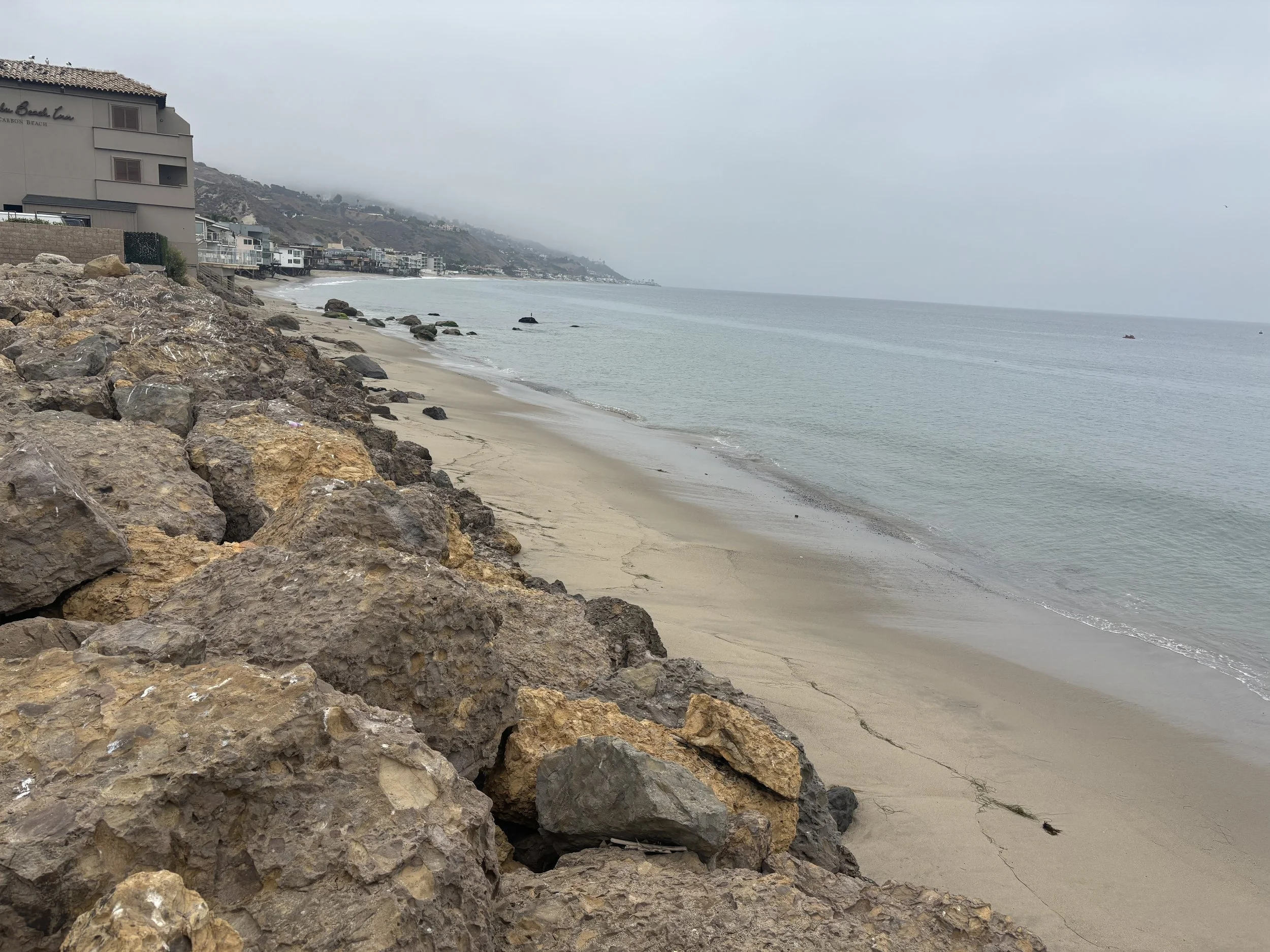


Adamson House - Surfrider Beach


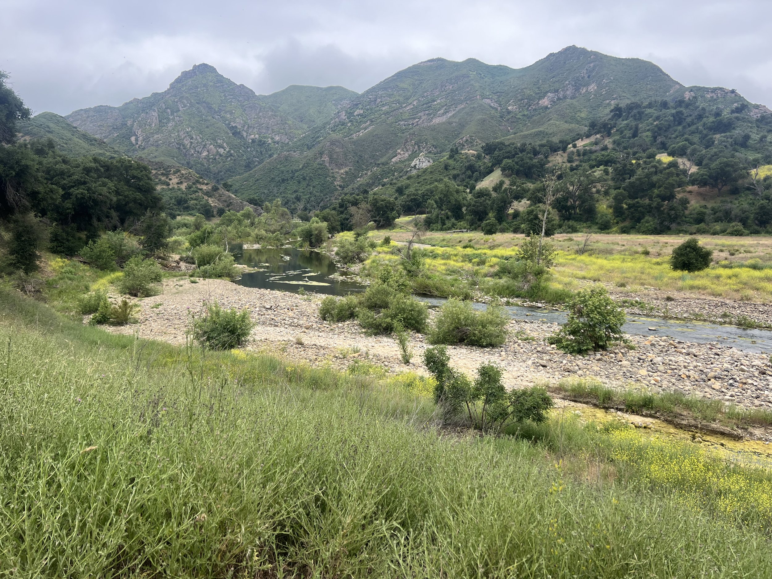
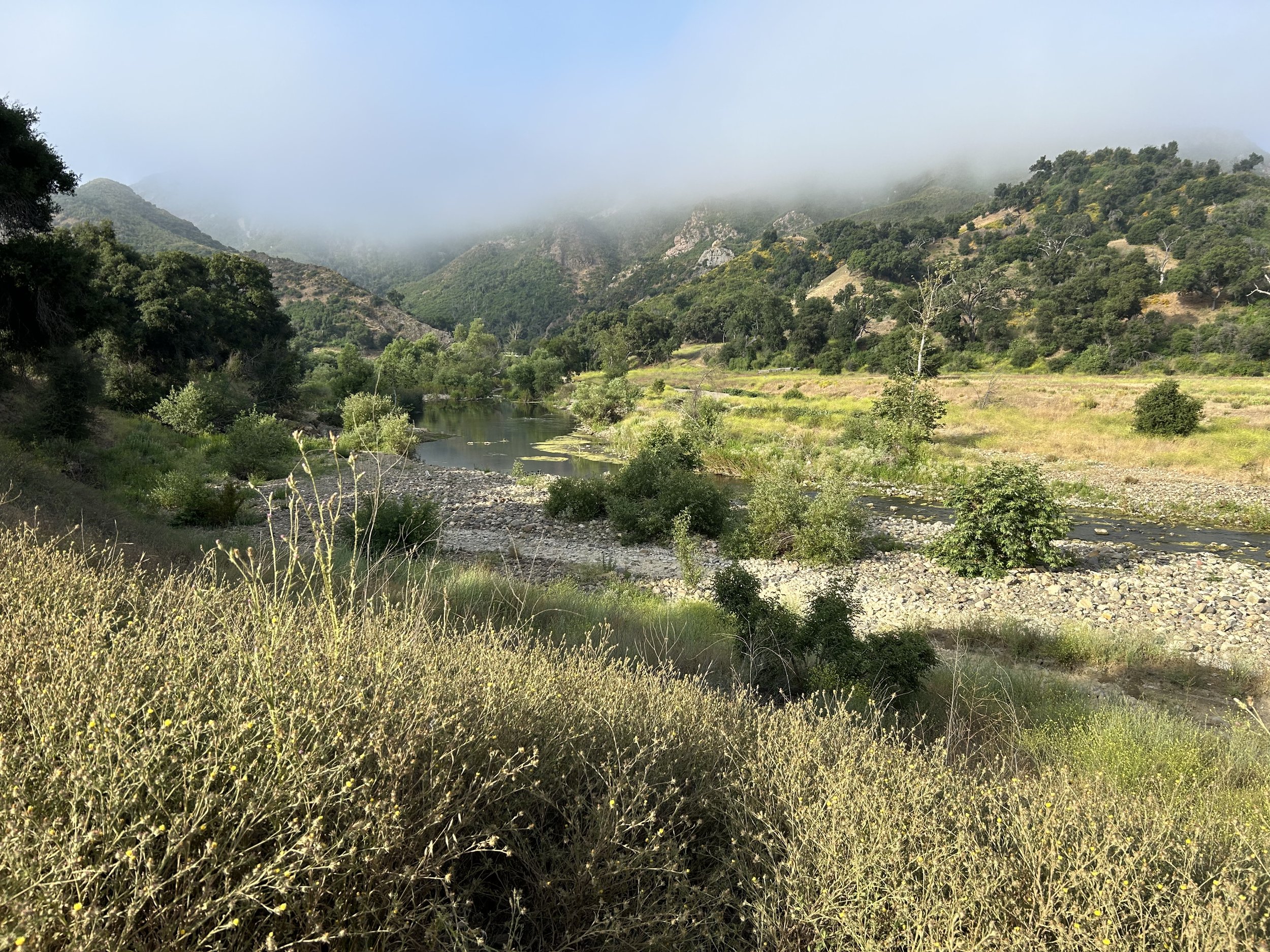
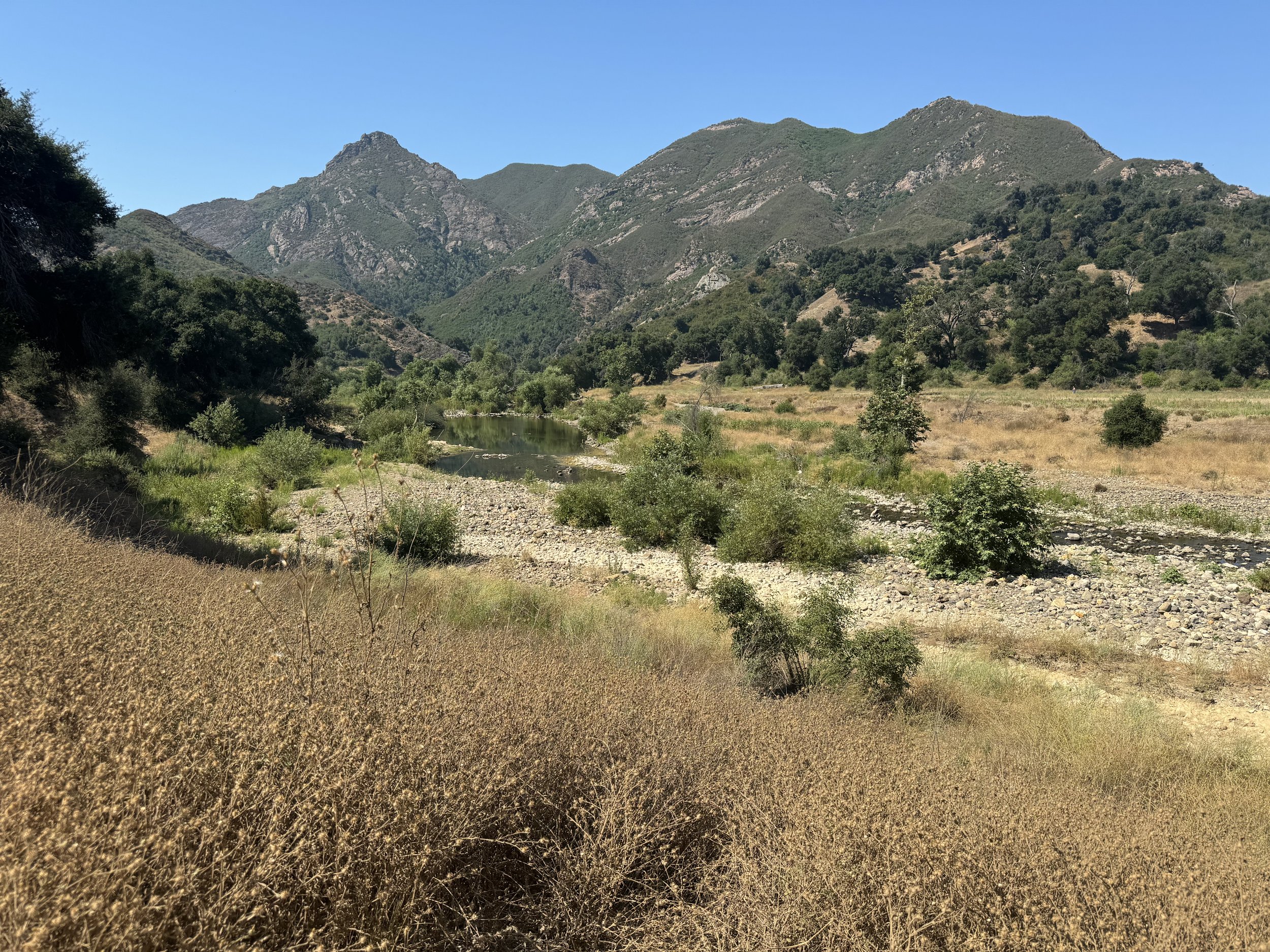
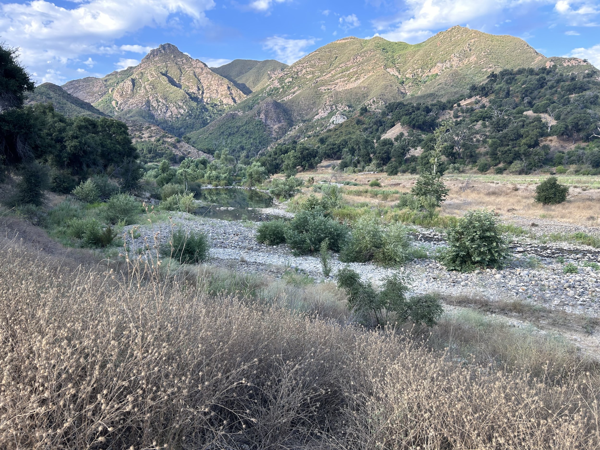
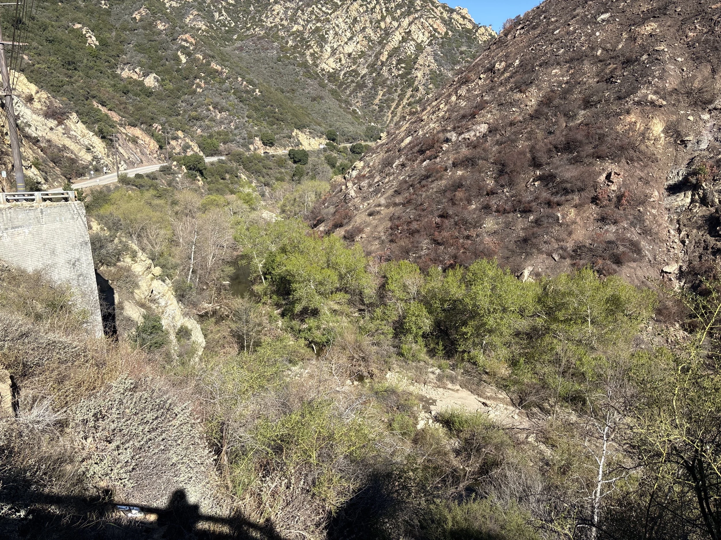
Malibu Canyon Road Overlook - Downstream


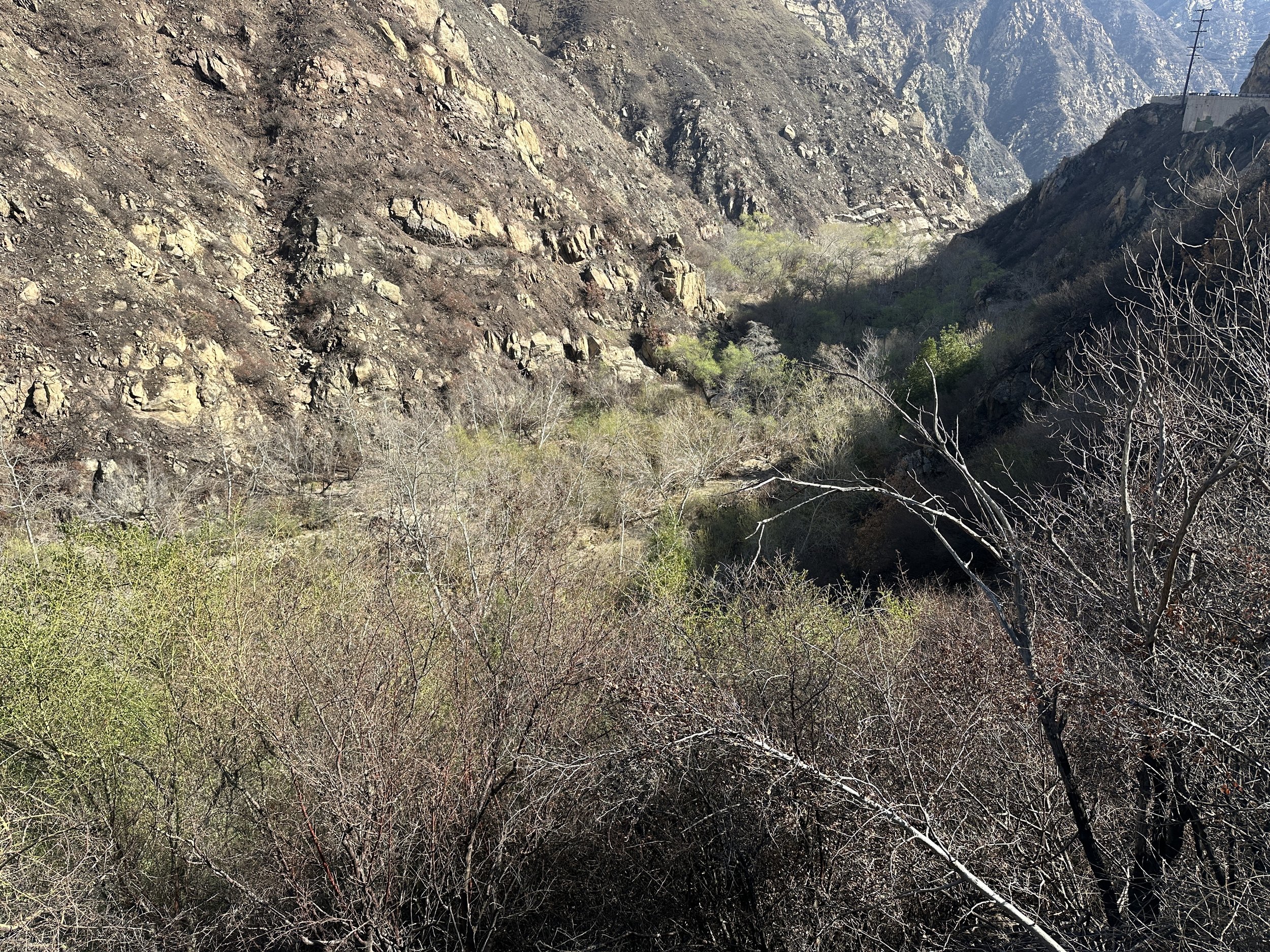


At the two locations looking over Malibu Creek Canyon and from the photos collected by you, we can see an evolving landscape where changes in instream, floodplain, and upland habitats are taking shape. These shifts reflect the creek's renewed flow, creating a mosaic of habitats that support diverse plant and animal life.
Malibu Canyon Road Overlook - Upstream


Maibu Canyon Road Overlook - Rindge Dam
