
Help Monitor Malibu Creek Headwaters to Sea


With the newly added location at Malibu Lookout Vista Point, there are seven locations in the community science photo monitoring program up and running, ready for data collection! Public support uploading images when visiting the locations will help monitor the ecological transformation of the watershed. The program is part of the MCERP’s removal of Rindge Dam in Malibu Creek State Park.

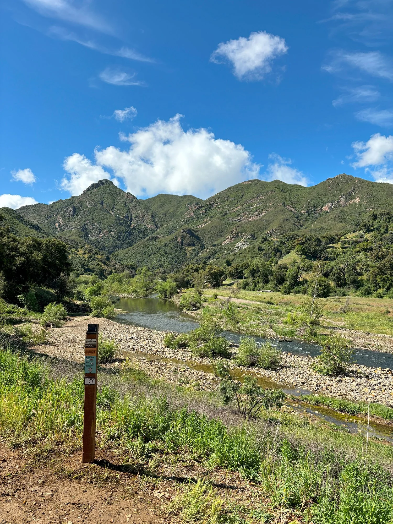
The monitoring posts are located in key ecological locations along the waterway.
The photo monitoring sites are along the Malibu Creek aquatic corridor where dynamic changes can be observed during the project. Documenting the physical condition of the creek and watershed over time is essential to this landscape-scale restoration effort.
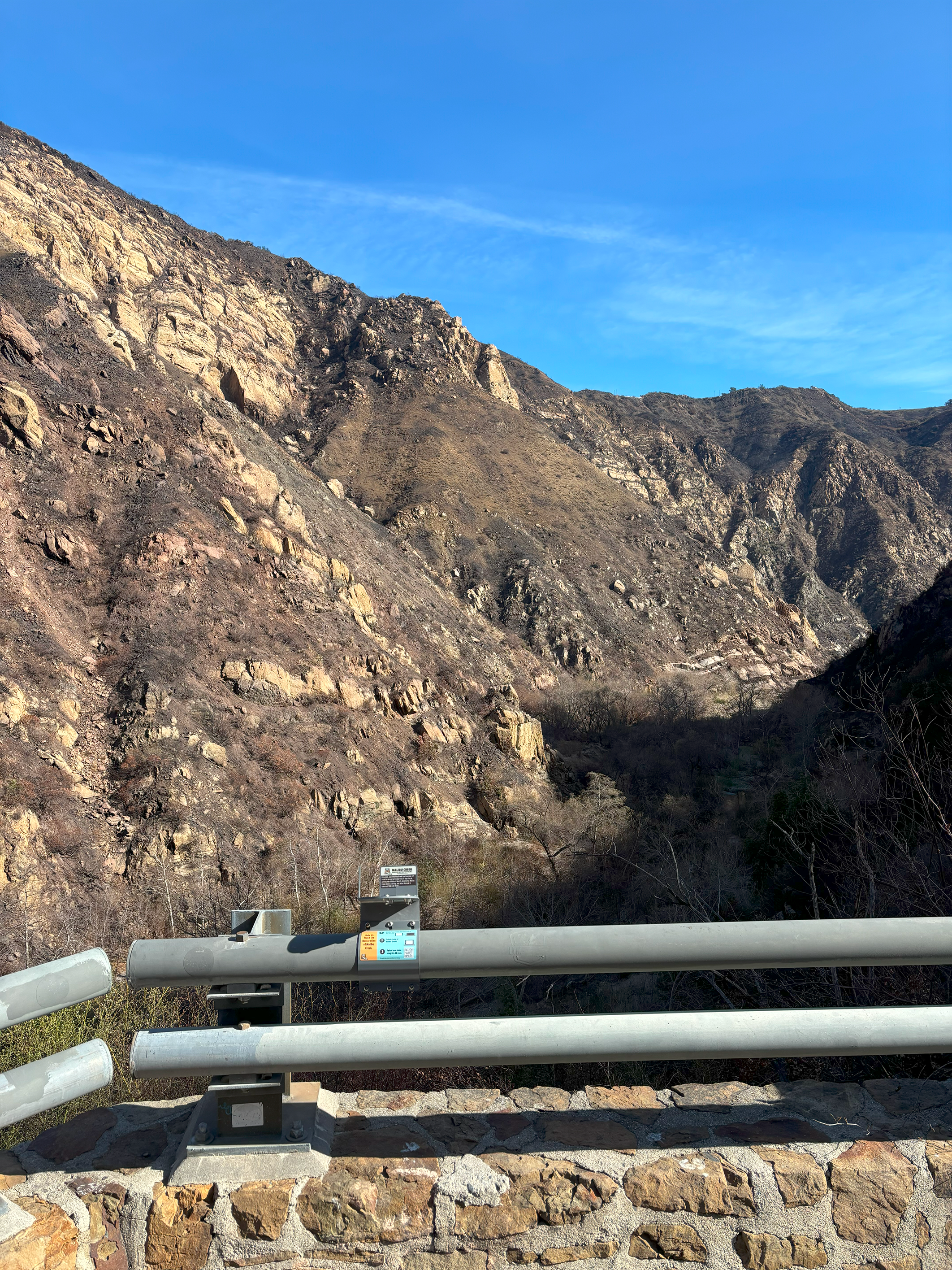
The newest location point is at the Malibu Canyon Lookout vista point and will capture both upstream and downstream views just above the dam. “Public participation in taking and uploading photos at this new location will capture the evolving landscape where changes in instream, floodplain, and upland habitats are taking shape. These shifts will reflect the creek's renewed flow, creating a mosaic of habitats that support diverse plant and animal life,” said Russell Marlow, CalTrout South Coast Regional Manager. CalTrout is California State Parks’ public partner in restoring a key watershed in the Santa Monica Mountains.

The photo monitoring sites along the creek from headwaters to coast are at:
Malibu Creek State Park at the confluence of Malibu Creek and Las Virgenes Creek documenting instream, riparian and groundwater dependent habitats – a year-round water source for wildlife.
Malibu Canyon Lookout vista point to observe river, floodplain, and upland habitat changes.
Malibu Lagoon State Park to capture beneficial ecological changes as we restore a more natural flow of sediment and water from the upper watershed.
Adamson House at the changing nearshore and lagoon mouth conditions.
Malibu Pier - Beach Access Stairs – East & West observing nearshore and coastal processes.
Following the instructions is easy! Since the program was launched in May 2024, participants have uploaded 868 pictures documenting the current ecosystems functions. To learn more about the Community Science program and all locations visit the page here.
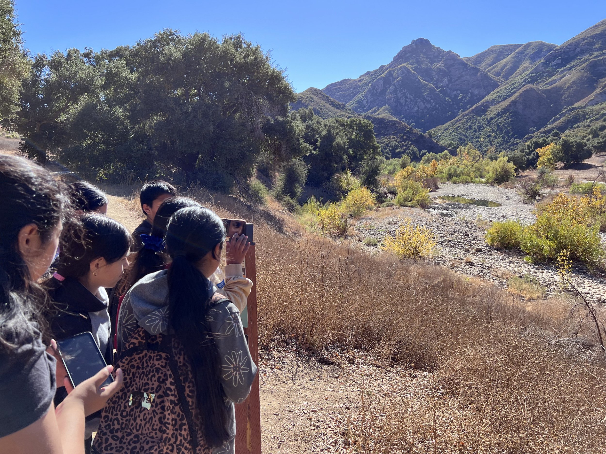
The Community Science Program offers educational opportunities for schools and organizations.
The Community Science Program offers educational opportunities for schools and STEM environmental science programs. If you would like more information about guided tours, please email restoremalibucreek@caltrout.org.
Once completed the MCERP will restore creek ecosystem functions in the watershed and increase habitat connectivity. Dam removal will restore access to over 15 miles of stream habitat for the endangered southern California steelhead (Oncorhynchus mykiss), improve climate resiliency, and restore a more natural sediment transport process nourishing our beaches and near shore environment.
The community science monitoring program is funded by Resources Legacy Fund (RLF) supporting efforts to remove defunct dams and the Dorrance Family Foundation focused on improving the quality of life in communities by supporting education and natural resource conservation. To obtain more information on the Community Science Program visit the page here.